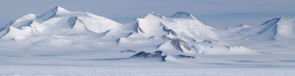
Ice Shelf in Antarctica
Image from https://sites.uci.edu/morlighem/bedmachine-antarctica/
Have you ever thought about the land underneath Antarctica's ice?
Prior to the news of the discovery of the deepest point on land I hadn't given much thought to the fact that there's land underneath the ice mass covering Antarctica but researchers around the world have been for the past 6 years.
Previously scientists flew planes over small areas at a time and using radar were able to get someone accurate images Of areas which they were able to stitch together into a full map of Antarctica, but 6 years ago scientists began to develop the BedMachine in order to better study the bedrock of Antarctica.
This new process creates a much more accurate map by utilizing data from the previous radar measurements, seismic measurements, and ice movement measurements.
Much of the continent is covered with ice and glaciers that have carved deep narrow grooves in the land below. Those trenches were so narrow previous surveys couldn't get accurate depth readings because the radar would bounce off the ice walls.
Thanks to the BedMachine's ability to zoom in to certain areas the research team even discovered the deepest point on land - ~2.17 miles below the Denman glacier.
They have also been able to identify previously unknown features which they believe impact the movement of glaciers above them and may impact the glaciers response to climate change.
Antarctica's glaciers hold 90% of the world's freshwater so as the Earth and oceans warm glacial melting can have major impacts. Read more here https://www.waterloggedlife.com/blog/2019/7/28/thinking-outside-the-box-louisiana-is-planning-for-the-future
#blog #news #sealevelrise #waterlogged #newcontent #BedMachine #BedMachineAntarctica #Antarctica #water #glacier #glaciers #frozen #map #canyon #icemelt #science #climatechange #globalwarming #oceanwarming #ocean #research #scicomm #wisskomm #Denman #land #radar #mapping #modeling